The Ultimate Small-Footprint Environmental Monitor
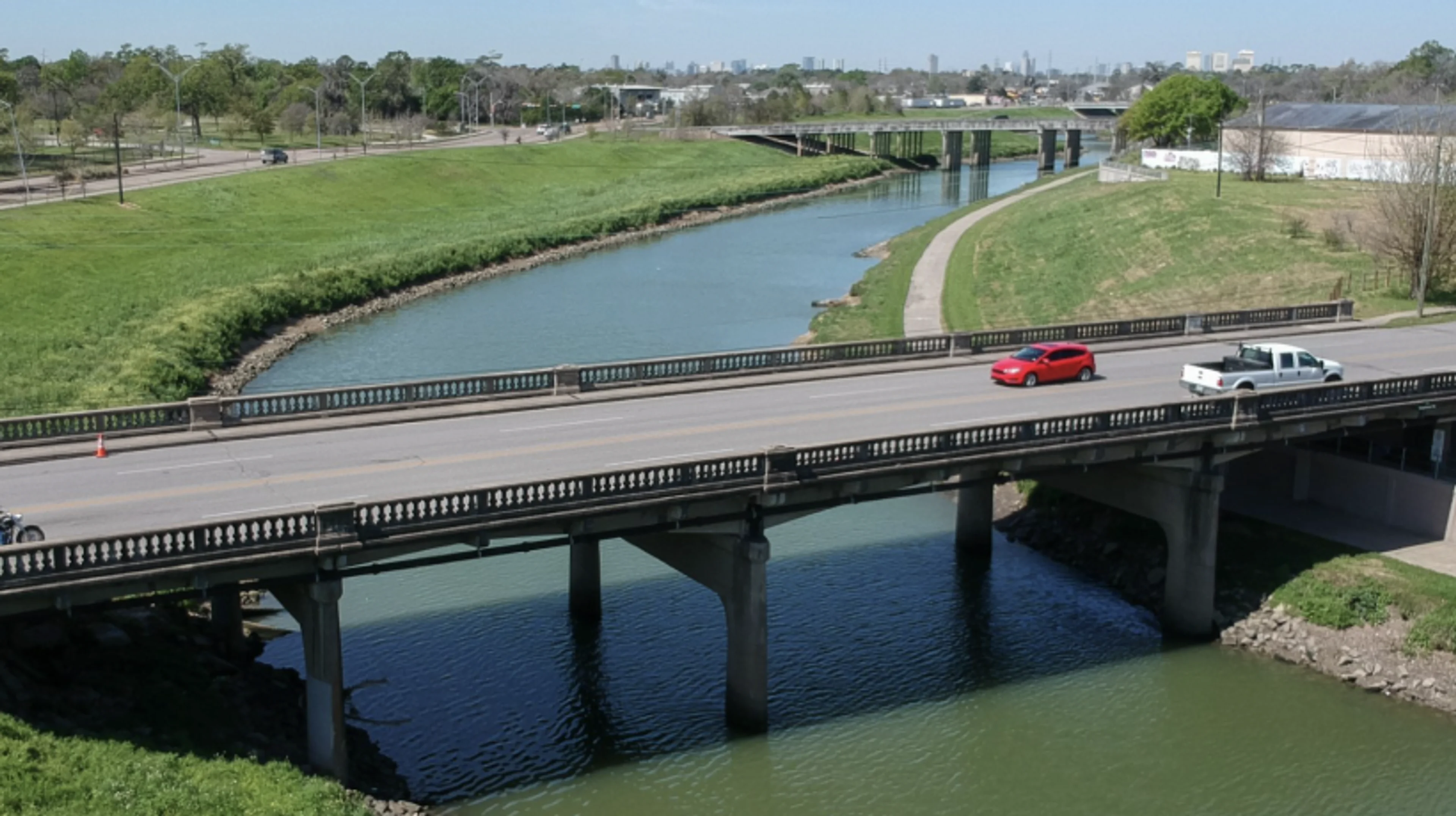
Across the United States, the U.S. Geological Survey (USGS) and local flood control authorities rely on networks of sensors to monitor water levels in both rural and urban areas, helping communities anticipate and prevent flooding.
The installation shown monitors bayou and drainage canal levels in Houston, Texas. For comparison, the legacy system beside it includes a large control panel, oversized solar array, and bulky transmitter equipment.
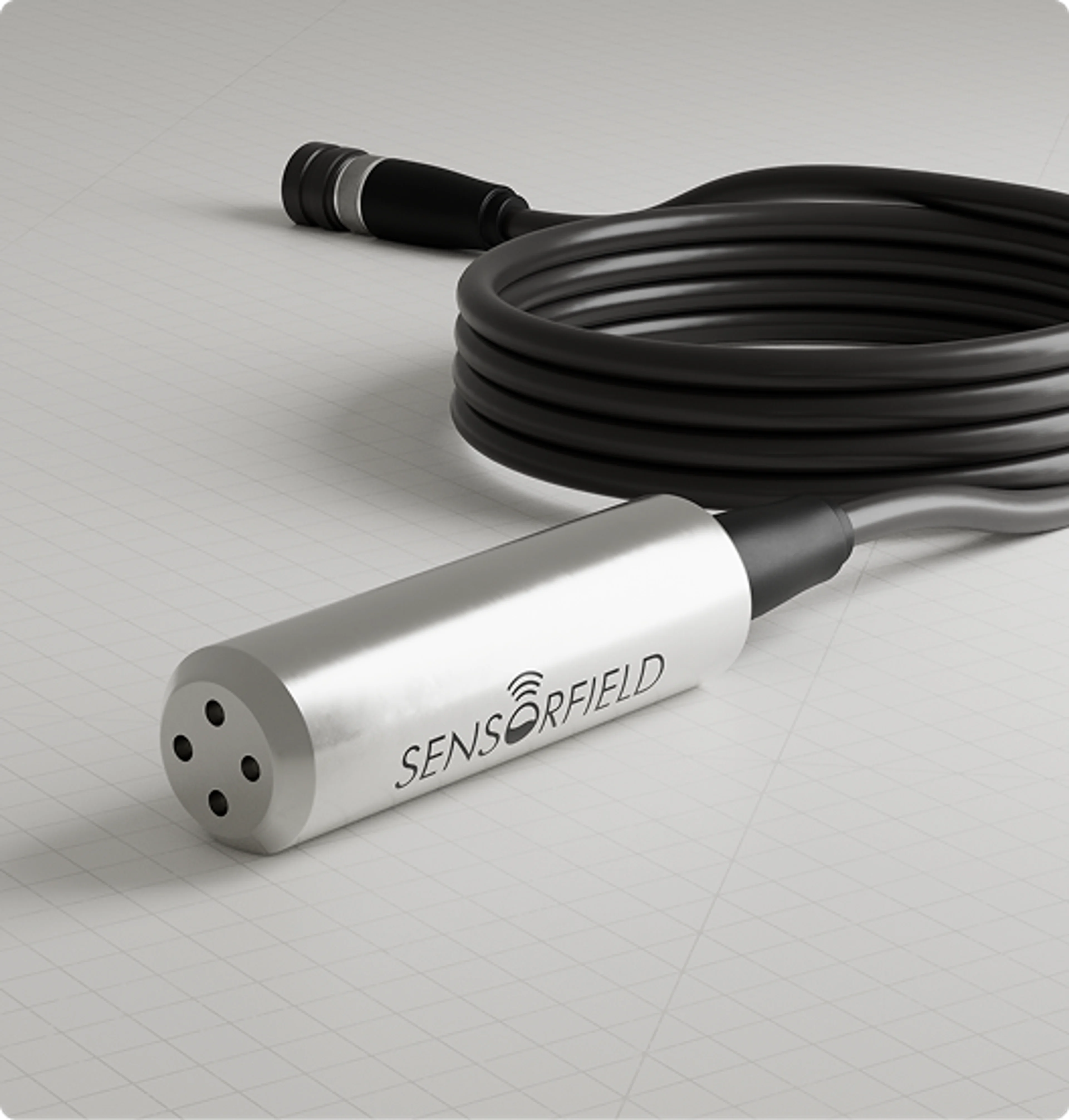
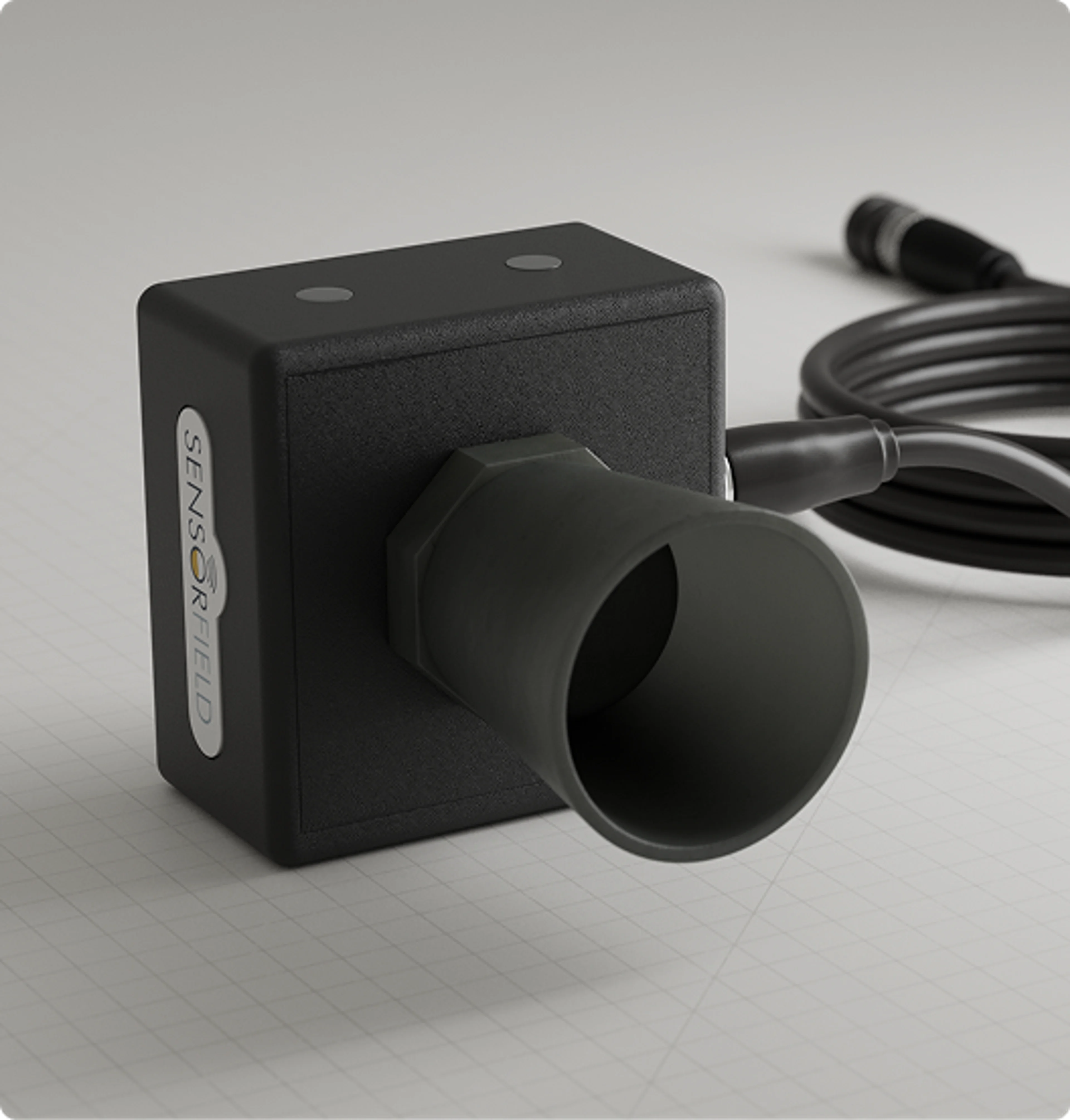
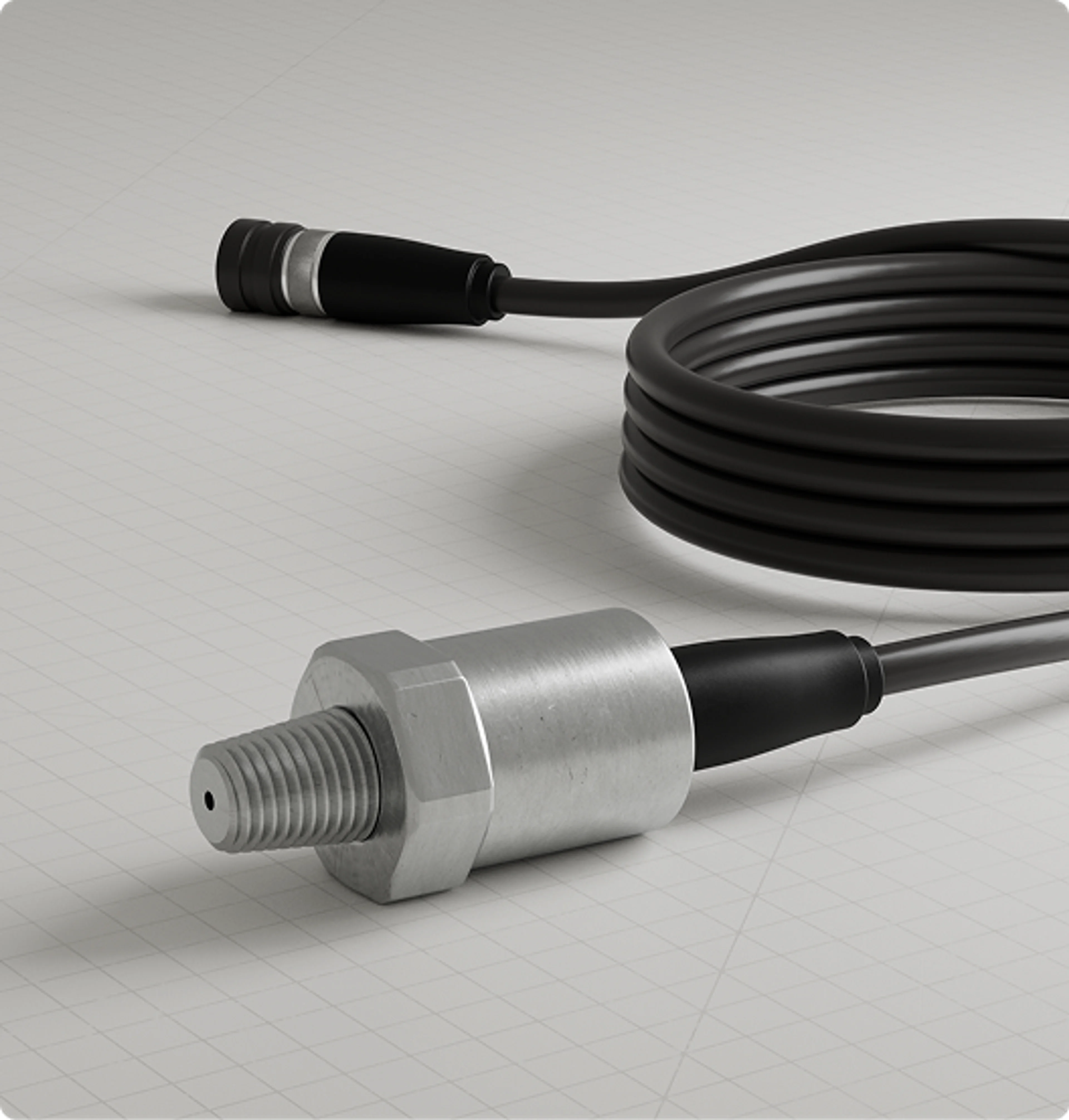
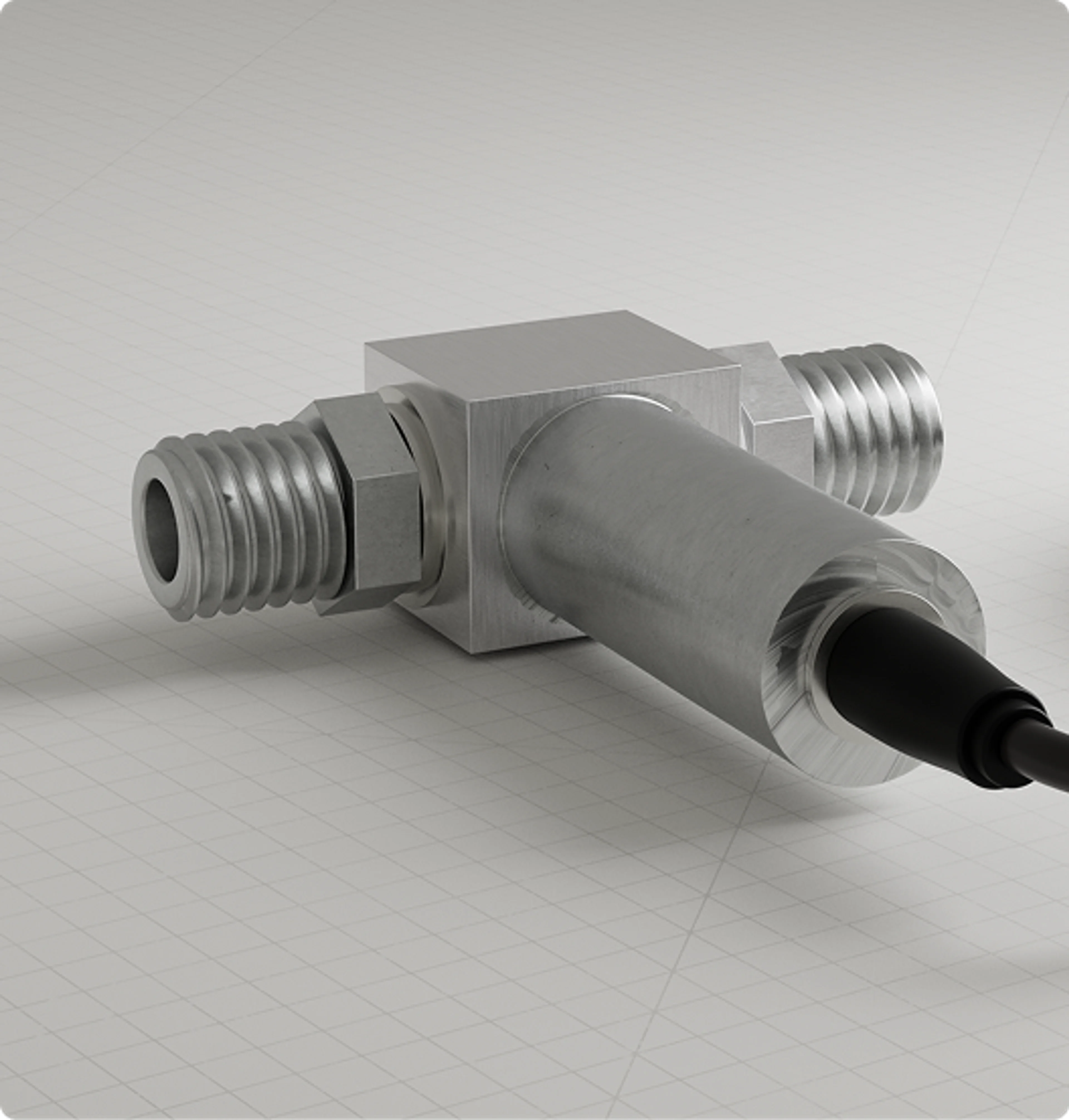
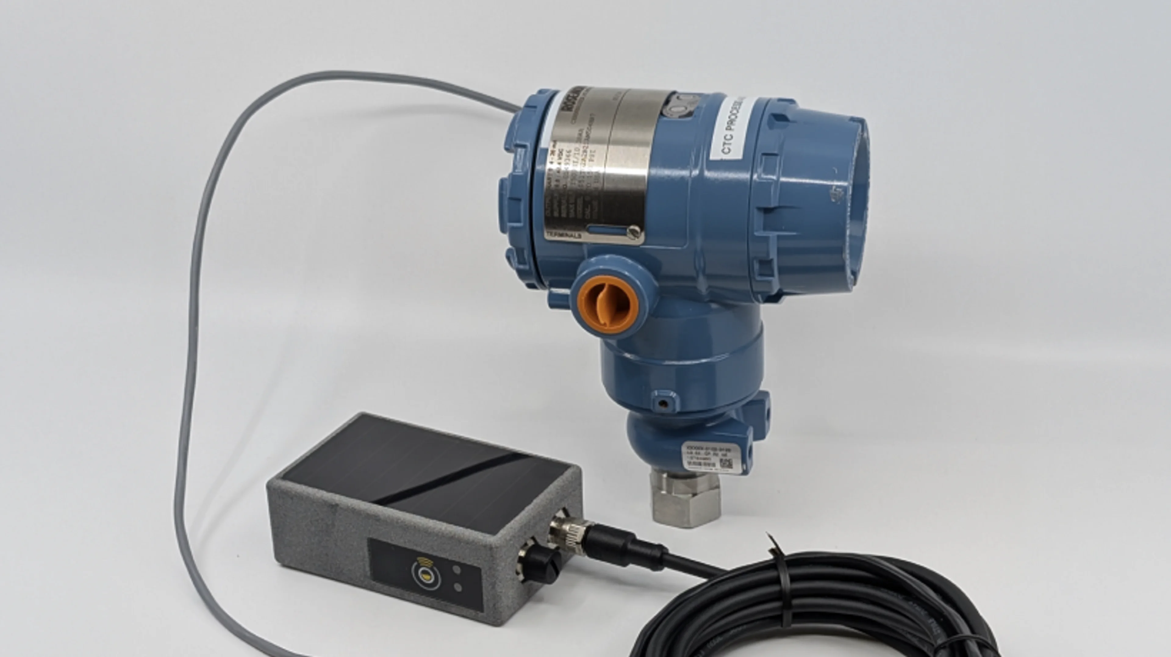
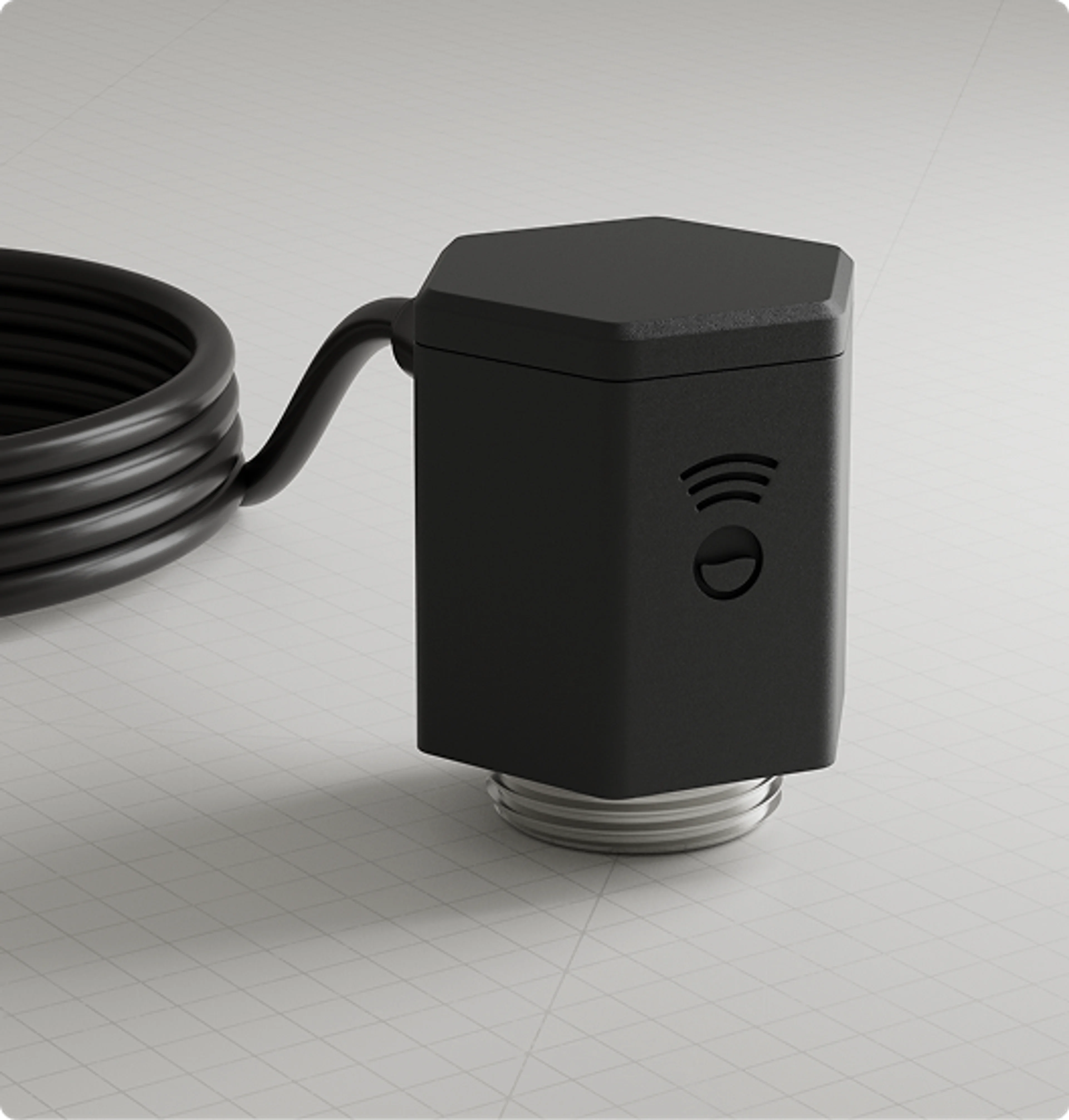
Powered by advanced millimeter-wave radar sensors, the system uses state-of-the-art, high-precision distance-measurement technology while consuming very little power. It measures fluid levels with a resolution of 1 mm, and with signal processing and oversampling, achieves accuracy within 3 mm (approximately ¼ inch) at distances of 50 feet or more.
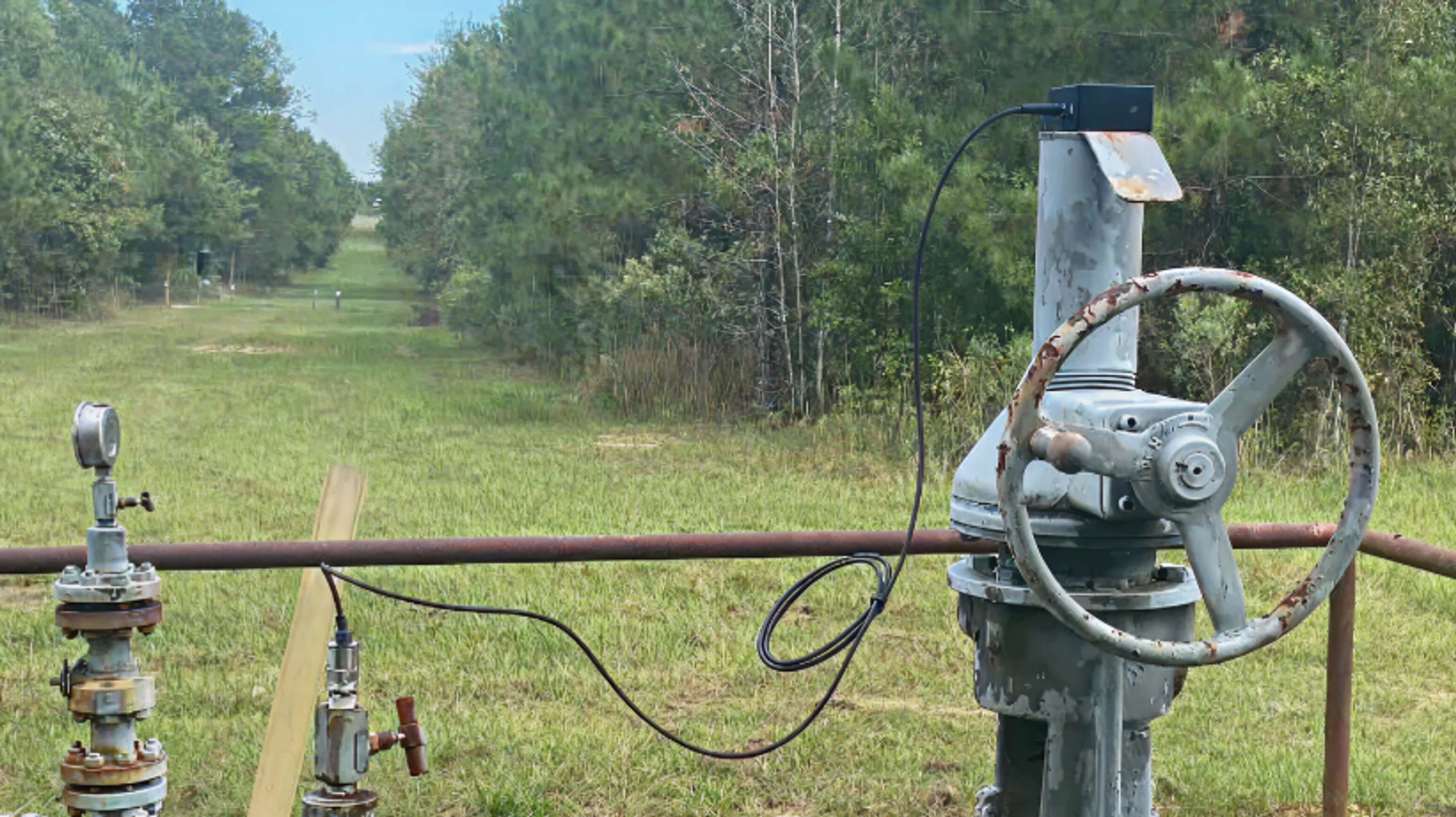
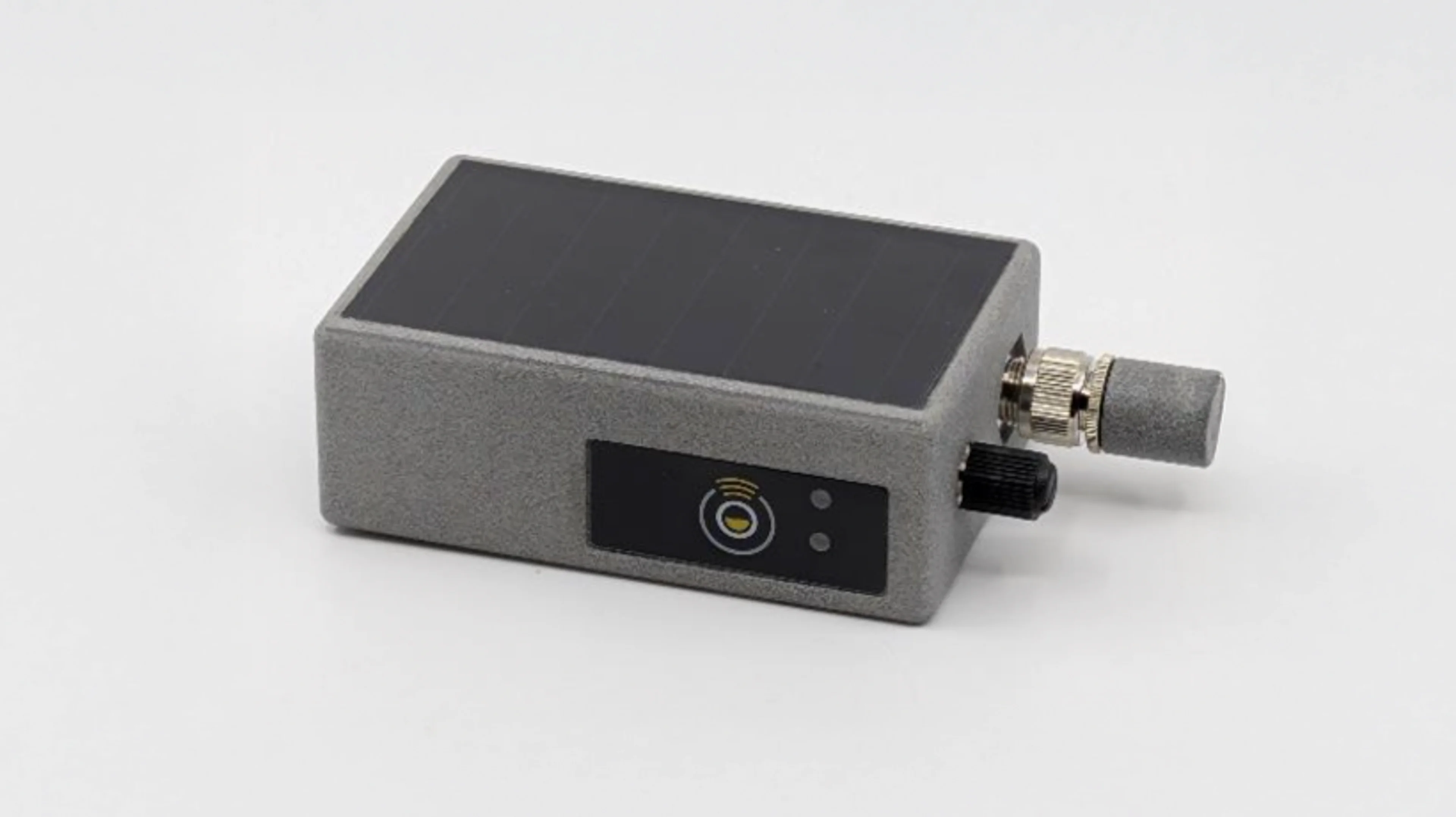
Compact, solar-powered, and cellular-connected, the system installs quickly using a magnetic mount. Its discreet, low-profile design makes it nearly invisible to passersby, reducing the risk of tampering or accidental damage.
This plug-and-play, always-on solution offers a unique combination of high accuracy, low cost, and easy deployment. It’s ideal for widespread flood monitoring anywhere cellular coverage exists.